
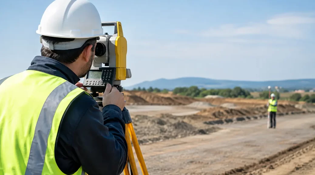
A kerb line set out 40 millimetres off position, or a drainage invert built to the wrong level, can affect far more than one section of work. It can create clashes with services, compromise drainage grades, require demolition and delay later trades. Survey control for civil works gives every contractor, machine operator and superintendent a common, verified reference for position and height from the first peg to final as-built records.
For Victorian civil projects, control is not simply a few temporary marks placed around a site. It is the measured framework that connects design information to the ground. When it is planned properly, checked consistently and protected through construction, it reduces uncertainty where it is most expensive: in the field.
What survey control means on a civil site
Survey control is a network of fixed, accurately coordinated reference points used to position and level construction works. These points may include permanent marks, survey marks, site benchmarks, control stations and temporary reference marks established for the project.
Horizontal control establishes where work belongs in plan. It is used to set out road alignments, kerbs, retaining walls, services, pits, structures, lot interfaces and building works. Vertical control establishes height. It governs bulk earthworks, pavement layers, stormwater drainage, flood levels, slab levels and finished surface grades.
The control network should be related to the project’s nominated coordinate system and vertical datum, commonly MGA2020 and the Australian Height Datum where required by the design, authority or client. The exact approach depends on the project brief, design documentation and council or asset-owner requirements. What matters is that all parties are working from the same verified basis.
A design file can be technically correct and still produce incorrect construction if it is loaded into equipment against an unsuitable control system. Clear survey control avoids this disconnect between office design, field set-out and machine guidance.
Why survey control for civil works needs early attention
Civil works are built in stages. Existing ground is stripped, cut and filled. Temporary access changes. New pavements and structures can block sightlines. Markers are disturbed by excavation, plant movements or subcontractor activity. Control established only when set-out is urgently needed is more likely to be compromised or poorly coordinated.
Establishing survey control early gives the project team time to assess access, visibility, stability and future construction impacts. A control mark positioned beside an active haul road may be convenient on day one but unusable or damaged after earthworks commence. A practical network uses points outside likely disturbance areas while maintaining workable observations across the site.
Early control also helps resolve design questions before crews are mobilised. Differences between existing feature survey data, civil design surfaces, title boundaries, road reserves or adjoining works should be identified before construction tolerances are applied. A surveyor can test whether the design coordinates and levels reconcile with the physical site and raise discrepancies for direction from the project team.
This is particularly relevant on constrained infill sites, staged subdivisions and works adjoining existing roads or drainage assets. There may be limited space for control marks, restricted working hours or authority requirements that influence where marks can be placed and how they must be referenced.
Control is not the same as a boundary survey
Civil control provides the working framework for construction. It does not, by itself, confirm legal title boundaries or replace a re-establishment survey. Where works are close to a property boundary, easement, road reserve or encroachment risk, the relevant cadastral information should be properly investigated and the scope clarified.
Treating an old fence, kerb or occupation line as a title boundary can create avoidable risk. The same principle applies to assumed site levels or coordinates taken from unverified drawings. Construction decisions should be based on suitable survey evidence, not visual assumptions.
Building a control network that works on site
The appropriate network depends on project scale, accuracy requirements, site conditions and the nature of the works. A small drainage upgrade may need a compact arrangement of stable control points and a reliable site benchmark. A large subdivision, road project or industrial development may need a broader network with redundancy, staged extensions and regular verification.
A sound control strategy generally begins with a review of the available information: design drawings, coordinate schedules, existing survey marks, authority data, previous surveys and any nominated project datum. Field observations can then establish or verify control using suitable methods, including GNSS and total station measurements.
GNSS is efficient for connecting a site to a recognised coordinate framework where satellite visibility and required accuracy permit. Total stations are valuable for detailed traversing, set-out and observations in built-up areas, beneath tree cover or where obstructions affect satellite reception. In many projects, the best result comes from using both methods rather than relying on one technique alone.
Redundancy is essential. A network with only one reference point leaves the project exposed if that mark is moved or damaged. Multiple independent checks allow the surveyor to identify a problem before incorrect set-out is issued. The control points should be clearly described, protected where possible and recorded in a control report or plan that identifies coordinates, levels, datum, mark type and verification details.
Protecting marks is a project responsibility
Even the best-established mark has little value if it is destroyed without notice. Site induction processes should identify control marks, and site teams should understand that pegs, nails, bolts and benchmarks are not expendable construction markers.
Before bulk excavation, service trenching, pavement works or demolition, the superintendent should confirm whether any control will be affected. If a mark must be removed, replacement control should be established and checked before the original reference is lost. This is quicker and less costly than reconstructing a network after a dispute over levels or alignment.
Applying control through each construction stage
Once established, control supports more than initial set-out. It should be used progressively as the works move from clearing and earthworks through to services, pavements, structures and final certification.
During earthworks, control enables cut-fill calculations, batter set-out and checks against design surfaces. For machine-controlled plant, the machine model and localisation need to match the approved project control. A dozer or excavator can work efficiently with machine guidance, but it still requires independent survey validation. Machine control is a production tool, not a substitute for quality assurance.
For drainage and underground services, vertical control is critical. Inverts, pipe grades, pit locations and connection points must be checked against the approved design and existing asset information. Small level errors can prevent gravity systems from functioning as intended or cause conflicts at tie-in points.
For roads and pavements, survey set-out guides alignments, kerb returns, subgrade, pavement layers and finished levels. Regular checks help maintain crossfalls and transitions, particularly around intersections, driveways, accessible paths and drainage inlets. These are areas where a localised error can be visible, non-compliant or difficult to rectify after surfacing.
At completion, an as-built survey records the constructed location and level of relevant assets. The required detail varies by contract and asset owner, but reliable as-built information depends on the same control framework used throughout construction. If set-out and as-built work are based on inconsistent control, records may not reconcile with the design or surrounding assets.
Verification prevents costly assumptions
Control should be checked at defined points, not only when something appears wrong. The frequency will depend on risk, programme and site activity. High-risk periods include after major earthworks, following heavy plant movements, before critical pours or pavement placement, after control marks have been disturbed, and before final set-out of interfaces with existing infrastructure.
Independent checks are especially valuable where design responsibility, construction responsibility and machine-control preparation are handled by different parties. A short verification survey can identify a datum shift, transcription error or incorrect file version before it becomes embedded in the works.
The surveyor should communicate findings in practical terms. Project teams need to know whether a point is suitable for use, what datum applies, which marks are current, what tolerances are being assessed and what action is required if a discrepancy is found. Technical accuracy is most useful when it gives the site team a clear decision.
Choosing the right surveying support
A civil project benefits from a surveyor who understands both measurement and construction sequence. The brief should define the required coordinate and height datum, anticipated stages, design formats, tolerances, deliverables, site access and authority requirements. It should also establish who can authorise changes to design information or control.
For projects across Melbourne and regional Victoria, Melbourne Land Surveyors can provide control establishment, engineering set-out, level checks, feature surveys, monitoring and as-built support as part of a coordinated project approach. The aim is not to overcomplicate the site, but to give the project team dependable information when decisions need to be made.
Good control is rarely noticed when it is working properly. It allows crews to build with confidence, gives superintendents a reliable basis for checking work and leaves the completed project with records that can be trusted long after the machinery has left site.