
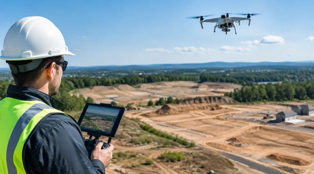
A difficult site can look straightforward from the street and tell a very different story once design work begins. Falling ground, drainage paths, retaining walls, neighbouring structures, tree cover and access constraints can all affect what is practical to build. A drone survey for development review gives project teams a fast, detailed visual record of those conditions, helping them assess a site before assumptions become costly design changes.
For Victorian developers, architects, builders and landowners, drone data is most useful when it supports – rather than replaces – a properly controlled land survey. The strongest outcomes come from combining aerial imagery with accurate feature and level information, title and boundary advice, and a clear understanding of planning and construction requirements.
What a drone survey can show before development
Aerial survey methods capture a perspective that is difficult to gain through conventional site inspections alone. High-resolution imagery can show the relationship between a proposed development site and its surrounding streets, adjoining properties, vegetation, drainage features and built form. On larger, irregular or inaccessible sites, this broader view can save considerable time during early feasibility work.
Depending on the scope and site conditions, drone-captured imagery may be processed into an orthomosaic image, a detailed aerial map corrected for scale and distortion. It can also support a three-dimensional surface model or point cloud. These outputs can help a project team review earthworks patterns, existing structures, access routes, stockpiles, surface drainage and the general shape of the land.
This is particularly valuable for greenfield subdivision sites, industrial land, rural development parcels and larger infill projects where ground conditions extend well beyond a single building footprint. It can also assist with documenting site conditions before demolition, construction or major civil works commence.
Aerial visibility is not the same as survey certainty
A drone can create a highly useful record, but a clear aerial image is not automatically a legal or construction-ready survey. Boundary positions, easements, title dimensions and datum-controlled levels must be established through the appropriate licensed surveying process.
For example, a fence visible in an aerial image may not sit on the title boundary. A rendered surface model may suggest a fall across the site, but its accuracy depends on survey control, processing methods, site cover and the purpose for which the model is being used. If design levels, building position or subdivision boundaries are being relied upon, the information must be suitable for that decision.
That distinction matters. A drone survey is an excellent review and communication tool. A feature and levels survey, re-establishment survey or engineering survey provides the measured control required to design, set out and certify work with confidence.
When a drone survey for development review adds value
Drone capture is not necessary for every project. On a small, open residential allotment, a conventional feature and levels survey may provide all the information required for planning and design. The value of aerial data increases where the site is large, complex, difficult to access or affected by surrounding conditions that need to be understood as a whole.
Aerial review is often useful at the feasibility stage, when a purchaser or developer needs to assess potential constraints before committing significant resources. It can help identify visible drainage lines, overhead services, embankments, vegetation groups, informal access points and the likely extent of site works. It can also give architects and planners a clearer picture of neighbouring built form and broader site context.
During planning, an up-to-date aerial base can support discussions around site layout, vehicle access, landscaping, overlooking, visual bulk and staging. It should not be treated as a substitute for planning advice or council requirements, but it can make project conversations more specific and reduce reliance on outdated imagery or incomplete desktop information.
For construction teams, repeat drone capture may assist with progress records, earthworks monitoring and communication between consultants, contractors and owners. This is most effective when capture dates, ground control and deliverables are agreed at the outset. A collection of attractive site photos is useful, but it is not the same as a consistent project record that can be compared over time.
Survey control is what makes the data dependable
The technical quality of drone-derived data depends on more than the aircraft and camera. Ground control points, coordinated survey marks and appropriate processing are what connect aerial capture to a reliable project coordinate system. Without that control, image-based measurements can drift or appear more precise than they are.
For development review, the required accuracy depends on the decision being made. A broad feasibility review may only require clear imagery and indicative terrain information. Detailed civil design, cut-and-fill calculations, flood-related assessment, construction setout or final asset recording demand a higher standard of survey control and verification.
Vegetation, deep shadows, reflective roofs, standing water and steep terrain can also affect results. Dense canopy may conceal the ground entirely, while parked vehicles, machinery and changing stockpiles can distort a surface model. In these cases, conventional field observations remain essential. A practical survey scope recognises these limitations early rather than discovering them after design has started.
At Melbourne Land Surveyors, drone-based capture can be coordinated with feature and levels, engineering and site analysis surveys so the project team receives information suited to the next decision, not simply more data to sort through.
Using aerial data across planning and construction
The best use of drone information is usually integrated into the wider development workflow. Early imagery can inform site due diligence and concept design. Controlled survey data can then provide the base for detailed architectural, civil and drainage documentation. Once construction begins, aerial records can help monitor visible change and communicate site status to stakeholders.
For a proposed subdivision, this may mean reviewing the wider landform and access arrangement before detailed design, then using a licensed survey to establish title boundaries, existing features and levels. For a multi-unit development, it may involve documenting neighbouring context and existing roof forms while relying on precise boundary and level information for planning drawings and building setout.
The sequence matters because it avoids using preliminary information for decisions that require a higher level of certainty. It also helps consultants work from a consistent base. When architects, planners, engineers and builders each rely on different imagery, assumed levels or boundary lines, discrepancies can quickly become a program and cost issue.
Compliance, privacy and safe site access
Drone operations must be planned with aviation safety, privacy and site safety in mind. Urban development sites can involve nearby homes, roads, powerlines, workers and members of the public. Flight planning needs to account for the site environment, weather, airspace considerations and applicable operating requirements.
Clients should also consider what they need captured and why. A planning context image may require a different approach from a construction progress survey or a detailed terrain model. Clear instructions on the required area, intended outputs, accuracy and timing help ensure the survey is proportionate to the project.
It is equally important to manage expectations around privacy. Aerial imagery should focus on the development purpose and avoid unnecessary capture of neighbouring private areas. Professional handling of data, clear project records and considered reporting protect both the project team and the surrounding community.
Set the scope around the decision you need to make
Before commissioning a drone survey, define the question it must answer. Is the aim to review site constraints before purchase, understand terrain for a concept plan, document existing conditions, track visible construction progress or support detailed engineering design? Each purpose calls for different capture methods, survey control and deliverables.
A useful brief identifies the site extent, required date of capture, intended users, expected accuracy and whether the output must align with an existing design or coordinate system. It should also identify limitations such as tree cover, inaccessible areas, active works or the need to coordinate with other consultants.
Used this way, drone capture becomes a practical part of development review rather than a standalone visual exercise. The right aerial perspective can reveal issues early, while licensed survey control gives the project team the confidence to act on what it sees.