
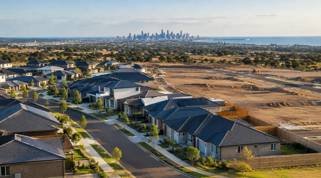
A residential subdivision project example is most useful when it shows the decisions that affect time, cost and yield before work begins on site. Consider a common Victorian scenario: an ageing house on a 1,600 square metre corner allotment in Melbourne’s middle suburbs, proposed to become an eight-lot residential subdivision.
The landowner’s objective is to create serviced lots for sale, rather than construct dwellings. The project appears straightforward at first glance. The block is reasonably level, has two street frontages and sits near established services. Yet its success depends on accurate boundary information, a workable layout, council approval, referral authority conditions and a properly prepared plan of subdivision.
This example follows the practical sequence of work and highlights where early surveying and development advice can prevent expensive redesigns.
Residential Subdivision Project Example: An Eight-Lot Site
The site contains an original dwelling close to one boundary, a detached garage and several mature trees. Initial title information suggests a conventional rectangular parcel, but title dimensions alone are not enough to design or market an eight-lot outcome.
Before any concept plan is relied upon, a licensed surveyor completes a re-establishment survey. This work identifies and marks the legal boundaries by examining title documents, relevant plans and survey evidence in the surrounding area. Fences, garden beds and driveways are not reliable proof of ownership. On an older site, occupation can differ from the true title boundary by a material amount.
A feature and levels survey is carried out at the same time. It records buildings, trees, fences, kerbs, footpaths, pits, poles, drainage features and levels across the site and adjoining interfaces. For this project, the survey identifies a shallow drainage fall towards the rear, an existing sewer running through one side of the land and a street tree that restricts the preferred vehicle crossover position.
Those findings change the draft arrangement. Instead of placing a new internal road along the eastern edge, the consultant team moves access to the secondary street frontage and reshapes two rear lots. The revised layout retains adequate access, reduces conflict with the sewer and avoids an unnecessary tree removal application.
Testing the Yield Before Lodging an Application
An eight-lot layout is not automatically the best outcome because it produces the highest number of titles. The practical question is whether each lot can be serviced, accessed and developed within the planning controls and market expectations for the area.
The planning review considers the applicable planning scheme zone, overlays, minimum garden area requirements where relevant, neighbourhood character, access, drainage, bushfire or flood matters and any council policy affecting subdivision design. A corner site can provide flexibility, but it may also face extra constraints around sightlines, crossover locations and street tree protection.
The consultant prepares a concept layout that provides five street-facing lots and three rear lots served by a common driveway. Preliminary dimensions allow for vehicle access, waste collection, easements and service corridors. The landowner also receives an early indication of likely authority requirements and whether the existing house should be retained, demolished or separated onto one lot.
In this example, retaining the house would reduce the achievable yield to six lots and require more complicated access arrangements. Demolition involves an immediate cost, but creates a clearer eight-lot layout with more consistent lot sizes. The right choice depends on the property’s holding value, construction timing, finance and local buyer demand. It is a commercial decision informed by planning and survey evidence, not a simple density calculation.
Planning Permit and Referral Authority Conditions
Once the preferred concept is settled, the planning permit application is prepared with the supporting survey information, subdivision design and required reports. Council assesses the proposal against its planning scheme and may seek changes before issuing a decision.
For an eight-lot project, conditions commonly address stormwater drainage, vehicle access, public lighting, landscaping, waste collection, crossover works and service connections. The land may need to be referred to authorities responsible for water, sewer, power, telecommunications or road assets. If the site has a flood overlay or lies near a waterway, further drainage and flood-level information may be needed.
This phase can be where poorly coordinated applications lose time. A nominally compliant layout can still require redesign if a drainage easement has not been allowed for, the internal driveway cannot meet engineering requirements or service authority infrastructure occupies the proposed building envelope.
A surveyor with subdivision and project support experience helps keep the approved design, engineering response and title outcome aligned. That coordination matters because conditions on the permit are not merely administrative. They become actions that must be addressed before new titles can be issued.
From Approved Layout to a Registrable Plan
After the planning permit is issued, the project moves into detailed design and compliance. Civil engineers prepare plans for drainage, pavement, vehicle crossings and any works required in the road reserve. Service providers confirm the location and capacity of new connections. Where necessary, easements are created to protect sewer, drainage, electricity or shared access infrastructure.
The licensed surveyor then prepares the plan of subdivision. This is the legal document that defines each new lot, common property if applicable, easements and restrictions. It must reflect the approved development outcome, title requirements and the physical reality of the land.
For the eight-lot example, the plan shows individual lots, a shared carriageway easement for the rear lots and a drainage easement at the low point of the site. It also includes restrictions requiring certain building setbacks and preventing construction over essential services. These details need careful consideration. A poorly drafted restriction can limit future building options, while an omitted easement can create serious servicing and access problems.
The plan is submitted for certification through council. Certification confirms that the plan is generally consistent with the planning permit and relevant statutory requirements. It does not replace the need to satisfy all permit conditions.
Construction, Setout and Statement of Compliance
Construction begins once the necessary approvals, designs and service arrangements are in place. On a project of this scale, survey setout is used to position works accurately. This may include driveway alignments, drainage structures, retaining walls, new boundaries and building-related reference points.
Accurate setout reduces the risk of works encroaching into an easement, crossing a boundary or being built at the wrong level. It is particularly valuable where lots are tight, driveways are shared or drainage grades have limited tolerance.
As works are completed, the developer gathers evidence required to clear planning permit conditions. This can include endorsed engineering plans, completion certificates, service authority approvals, drainage documentation and correspondence confirming works have been accepted. Council will only issue a Statement of Compliance when all applicable conditions are met.
The Statement of Compliance is a critical milestone. It confirms that the requirements attached to the subdivision have been satisfied sufficiently for the plan to proceed to registration. The certified plan, Statement of Compliance and supporting documents are then lodged for registration. Once registered, separate titles can be issued for the new lots.
Timing varies widely. A straightforward subdivision may progress efficiently, while service upgrades, drainage issues, planning objections, title complications or authority delays can extend the programme. Allowing realistic contingency is more prudent than assuming every approval will run to the shortest timeframe.
What This Example Shows Developers and Landowners
The eight-lot project succeeds because the team tests the site before committing to a fixed design. The re-establishment survey confirms what can legally be subdivided. The feature and levels survey reveals the constraints that shape the layout. Planning, engineering, servicing and title documentation are then managed as connected parts of one project.
For a smaller two-lot backyard subdivision, the documentation may be simpler. For a greenfield estate, the scale and infrastructure obligations are much greater. The same principle applies in both cases: establish reliable site information early, identify approval risks and prepare a subdivision layout that can actually be built, serviced and registered.
Melbourne Land Surveyors supports this process from initial site investigation through to plan preparation, construction setout and subdivision completion. The most valuable first step is usually not drawing more lots on a plan. It is obtaining clear, accurate advice on what the land can support before the project budget and programme are locked in.