
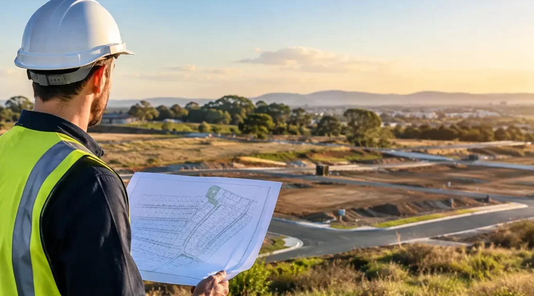
A two-lot subdivision can look straightforward on a real estate listing, then become considerably more complex once easements, vehicle access, stormwater and council requirements are properly tested. That is the practical reality behind current subdivision trends Victoria landowners and developers need to understand. The strongest projects are not simply those that achieve the greatest number of lots. They are the projects that align site capacity, planning controls, servicing and market demand before significant money is committed.
Across metropolitan Melbourne, regional cities and growth areas, development opportunities remain varied. However, the margin for error is smaller where land values, construction costs and approval timeframes are under pressure. Early surveying and planning advice has become less of a formality and more of a project-control measure.
Subdivision Trends Victoria Projects Are Showing
Infill remains the main opportunity, but sites are harder to work
Established suburbs continue to attract interest in dual occupancies, townhouses and small multi-dwelling developments. These locations offer proximity to transport, schools, employment and existing services, which can support buyer demand. The trade-off is that infill sites often come with constraints that are not obvious at first inspection.
Irregular boundaries, narrow frontages, restrictive covenants, existing drainage, heritage considerations and neighbouring development can all affect the eventual layout. A site may be large enough in square metres but still be unsuitable for the intended outcome once setbacks, private open space, access and waste collection are considered.
This has increased the value of site analysis before design work begins. A feature and levels survey, title review and preliminary planning assessment give architects and developers a reliable base for testing options. Designing around an assumed boundary position or unverified levels can lead to avoidable redesign later.
Smaller subdivisions are being assessed more carefully
Two-lot and three-lot projects remain common, particularly for landowners looking to retain an existing home while creating an additional lot or dwelling. While these projects can be more accessible than larger developments, they still require coordinated decisions about access, services, drainage, common property and staging.
A common issue is assuming that a rear lot can be created because there appears to be room beside an existing dwelling. The accessway width, turning movements, easements, construction access and utility connections must all work in practice. If the existing house is to remain, its compliance and relationship with the proposed subdivision need proper consideration as well.
For smaller developers, the lesson is clear: do not rely on a broad rule of thumb about minimum lot size. Victoria’s planning controls are applied through local planning schemes, overlays and site-specific conditions. What works in one municipality may not be supported in another.
Greenfield development still depends on delivery sequencing
In growth corridors, broad-acre subdivision continues to create opportunities, but the critical issue is often delivery rather than land yield alone. Roads, drainage, retarding basins, sewer, water, power and telecommunications need to be planned and delivered in the correct sequence. Delays in one approval or external works package can affect the timing of titles and settlements across an entire stage.
Developers are therefore placing greater focus on survey control, staged plans of subdivision and coordination with civil engineers, service authorities and councils. Accurate setout and dependable spatial data are fundamental to avoiding clashes between approved plans and works on site.
The same principle applies to regional Victoria. Geelong, Ballarat and surrounding centres can offer different land economics from Melbourne, but they are not automatically simpler. Local servicing capacity, drainage conditions, bushfire risk, flood mapping and council expectations need to be assessed on their own merits.
Planning Risk Is Now a Core Feasibility Issue
Planning risk has always been part of subdivision. The current difference is that many projects have less financial capacity to absorb late changes. A layout that requires a planning variation, major redesign or extended negotiation may no longer be commercially viable once holding costs are considered.
Overlays deserve particular attention. Flood, heritage, vegetation, bushfire management and environmental controls can affect building envelopes, access, drainage design and the level of supporting documentation required. They do not necessarily prevent development, but they can change what is achievable and how long approval may take.
Neighbourhood character and built-form expectations also matter for infill projects. Council will assess more than the number of proposed lots. The design response, overlooking, overshadowing, landscaping, parking and access arrangements must be appropriate to the site and planning scheme.
This is why subdivision feasibility should not be treated as a single yes-or-no question. A better approach is to test several realistic scenarios. For example, a site may support two quality dwellings with manageable approval risk, while a more intensive three-dwelling concept creates access and amenity issues that erode the expected return.
Servicing and Drainage Are Shaping Better Layouts
Water, sewer and stormwater are increasingly decisive in subdivision design. Existing assets may run through a site, sit within easements or require extensions to support new lots. Their position can affect building footprints, driveway location and the ability to create clean, usable titles.
Stormwater is especially important where sites are constrained or located in areas with known drainage sensitivity. A proposed layout needs a credible drainage outcome, not simply an area marked for a future system. Levels across the site, legal points of discharge and downstream capacity may all affect the design.
Developers should also allow for utility authority processes and the physical requirements of new connections. These are often managed alongside planning and certification, rather than after all other decisions are finalised. Leaving servicing questions until the end can create changes to lot boundaries or common property at an expensive stage.
A detailed feature and levels survey gives the project team the information needed to respond to these issues early. It captures the existing conditions that influence drainage, access and building design, including structures, visible services, vegetation and changes in level.
Titles, Easements and Existing Conditions Need Earlier Attention
Title information is not administrative background material. It sets the legal framework for a subdivision. Easements, covenants, restrictions and encumbrances can affect where a building can be placed, whether land can be built over, and how services must be protected or accessed.
Re-establishment surveying is equally important where boundary evidence is uncertain, fencing does not align with title boundaries or proposed works sit close to a boundary. A fence is not proof of ownership. Building design and subdivision boundaries should be based on licensed survey evidence, particularly where retaining walls, accessways or new structures are proposed near the edge of a site.
Existing development can introduce further complexity. A retained house may need new easements, altered service arrangements or clear treatment of shared driveways. In multi-lot projects, decisions about common property should be made for long-term operation, not just to get a plan approved. Future owners need clear and practical arrangements for access, maintenance and services.
What a More Controlled Subdivision Process Looks Like
The most reliable projects generally follow a disciplined sequence. They begin with accurate site information and title review, then move to realistic concept testing before detailed design is locked in. Planning, surveying, engineering and legal requirements are considered together because each can affect the final plan of subdivision.
Once a preferred option is established, the process may include planning permit approval where required, preparation and certification of the plan of subdivision, referral authority conditions, construction or servicing works, and a Statement of Compliance before registration. The exact pathway depends on the land, the proposal and the responsible authority.
There is no benefit in rushing a concept that has not been tested against real constraints. Conversely, over-investigating a straightforward site can waste time and budget. The right level of due diligence depends on project scale, site risk and the consequences of being wrong.
For landowners undertaking their first subdivision, having one experienced team coordinate surveying, subdivision documentation and planning support can reduce handovers and uncertainty. For larger development teams, clear survey data and responsive project support help keep consultants, contractors and approval bodies working from the same information.
Melbourne Land Surveyors approaches subdivision work with that practical objective in mind: establish the facts early, identify issues before they become delays, and keep the path from site assessment to registered titles clear. The most valuable trend for Victorian developers is not higher density at any cost. It is better-informed development that creates workable lots, compliant outcomes and fewer surprises once the project is underway.